
Back to selection
GEO Satellite
Geo-KOMPSAT-1 (COMS-1, Cheollian-1) GEO
succesfull

De-orbited
Launch date
26 June 2010
Country

Purpose
Earth Observation
Position
128.2° East
Operator
Korea Aerospace Research Institute (KARI)
Launch operator
Launch vehicle
Ariane 5ECA
Expected lifetime
15+ Years
COMS-1 (Geo-KOMPSAT-1 / Cheollian-1): South Korea’s First Multi-Mission Geostationary Satellite
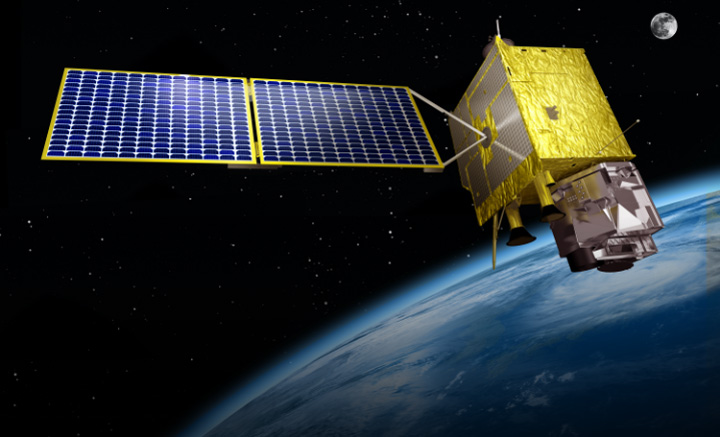
COMS-1, also known as Geo-KOMPSAT-1 or Cheollian-1, was South Korea’s first multi-purpose geostationary satellite. Developed by the Korea Aerospace Research Institute (KARI) in partnership with EADS Astrium, the satellite was launched to support meteorological, oceanographic, and communications missions from geostationary orbit.
The satellite was a cornerstone of South Korea’s long-term national space strategy and marked a major milestone in the country’s journey toward space technology independence.
Satellite Overview
-
Name: COMS-1 / Cheollian-1 / Geo-KOMPSAT-1
-
Manufacturer: EADS Astrium (prime contractor)
-
Platform: Eurostar-3000
-
Launch Mass: 2,400 kg
-
Power: 2.5 kW (end of life)
-
Orbital Location: 116° to 138° East (geostationary)
-
Operational Period: Launched in 2010, deactivated on March 31, 2020
-
Mission Duration: 9 years (minimum planned: 7 years)
Mission Objectives and Payloads
COMS-1 was equipped with three advanced payloads, each fulfilling a specific national objective:
🌦️ Meteorological Imager (MI)
-
A multi-spectral radiometer with 5 channels: 1 visible (1 km resolution) and 4 infrared (4 km resolution).
-
Delivered real-time weather monitoring, including early warnings for storms, floods, and sandstorms.
-
Contributed data to global weather forecasting systems and tracked long-term climate trends like cloud patterns and sea surface temperatures.
🌊 Ocean Color Imager (OCI)
-
Designed to observe marine ecosystems around the Korean peninsula.
-
Provided data on chlorophyll levels and algal blooms, supporting the fishing industry and environmental monitoring.
-
Achieved 500-meter resolution across 8 visible spectrum bands—a first from geostationary orbit.
📡 Ka-band Communications Payload
-
Enabled in-orbit testing of advanced broadband and multimedia technologies.
-
Supported experimental wide-band internet services, delivering high-speed data through three regional Ka-band beams.
-
Included a beam-switching system for seamless public network integration.
📶 Meteorological Data Dissemination
-
Utilized S-band reception and L-band transmission to broadcast HRIT and LRIT weather data formats to users across the region.
National Impact and Strategic Importance
COMS-1 was the first geostationary satellite operated by South Korea and played a vital role in:
-
Enhancing self-reliance in weather and ocean data collection.
-
Advancing South Korea’s national aerospace program, part of a 15-year development plan initiated in the 1990s.
-
Strengthening climate resilience and natural disaster response across East Asia.
The satellite was also a key step toward developing future missions, including the follow-on Geo-KOMPSAT-2A and 2Bsatellites, which succeeded COMS-1 after its retirement.
Deactivation and Legacy
After nine years of successful operation, COMS-1 was officially decommissioned on March 31, 2020. Its long-lasting performance helped establish South Korea as a serious player in the geostationary Earth observation and satellite communications sector.
GEO Satellite
Geo-KOMPSAT-1 (COMS-1, Cheollian-1)
succesfull
GEO Satellite
Geo-KOMPSAT-1 (COMS-1, Cheollian-1)
succesfull
GEO Satellite
Geo-KOMPSAT-1 (COMS-1, Cheollian-1)
succesfull