Indian Regional Navigation Satellite System (IRNSS)
| Position: | ISGO |
| Manufacturer: | Indian Space Research Organization (ISRO) |
| Operator: | Indian Space Research Organization (ISRO) |
| Launch operator: | Indian Space Research Organization (ISRO) |
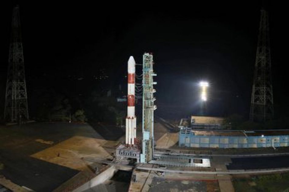
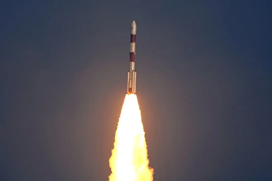
| Launch vehicles: | GSLV |
| PSLV | |
| Launch date: | |
| Expected lifetime: | 10+ Years |
Indian Regional Navigation Satellite System (IRNSS), NavIC The Indian Regional Navigation Satellite System (IRNSS), NacIC is a self-reliant regional navigation satellite system under development by ISRO in India. Its purpose is to offer precise position information to users within India and the surrounding region, up to a distance of 1,500 km from its borders. This designated area is known as the primary service area. Additionally, there exists an Extended Service Area situated between the primary service area and a region enclosed by a rectangle spanning from Latitude 30° South to 50° North and Longitude 30° East to 130° East.
The IRNSS system is designed to offer two distinct services: the Standard Positioning Service (SPS) and the Restricted Service (RS). The SPS is accessible to all users, while the RS is an encrypted service exclusively available to authorized users. Within the primary service area, IRNSS is projected to deliver a position accuracy better than 20m. The IRNSS system has a wide range of applications, including:
- Terrestrial, Aerial, and Marine Navigation
- Disaster Management
- Vehicle Tracking and Fleet Management
- Integration with Mobile Phones
- Precise Timing
- Mapping and Geodetic Data Capture
- Terrestrial Navigation Aid for Hikers and Travelers
- Visual and Voice Navigation for Drivers
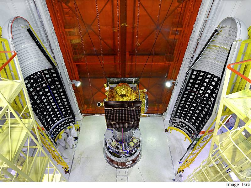
To date, ISRO has built a total of 9 satellites in the IRNSS series; of which 8 are currently in orbit while one failed during launch. Three out of these 8 satellites are in geostationary orbit (GEO) while the remaining in geosynchronous orbits (GSO) that maintain an inclination of 29° to the equatorial plane.
ISRO is currently engaged in discussions with CNES regarding the establishment of a NavIC ground reference station in France. Additionally, ISRO has plans to set up a NavIC ground station at Cocos (Keeling) Islands and is in active negotiations with the Australian Space Agency.
In December 2022, the Indian Parliament approved the launch of replacement satellites NVS-01 onwards for the IRNSS navigation satellite constellation. Ongoing studies are being conducted to determine the appropriate configuration for expanding the coverage of NavIC beyond its existing range.
Satellites in operation and planned:
| Satellite | Orbit | Mission | Launch Date | Launcher | Launch Operator |
| IRNSS-1A | ISGO 55°E | PSLV-C22 | July 1st, 2013 | PSLV | ISRO India |
| IRNSS-1B | ISGO 55°E | PSLV-C24 | Apr 4th, 2014 | PSLV | ISRO India |
| IRNSS-1C | GEO 83°E | PSLV-C26 | Oct 16th, 2014 | PSLV | ISRO India |
| IRNSS-1D | ISGO 112°E | PSLVC27 | Mar 28th, 2015 | PSLV | ISRO India |
| IRNSS-1E | ISGO 112°E | PSLV-C31 | Jan 20th, 2016 | PSLV | ISRO India |
| IRNSS-1F | GEO 33°E | PSLV-C32 | Mar 10th, 2016 | PSLV | ISRO India |
| IRNSS-1G | GEO 130°E | PSLV-C33 | Apr 18th, 2016 | PSLV | ISRO India |
| IRNSS-1H | PSLV-C39 | Launch failure | PSLV | ISRO India | |
| IRNSS-1I | ISGO 55°E | PSLV-C41 | Apr 12th, 2018 | PSLV | ISRO India |
| Satellite | Orbit | Mission | Launch Date | Launcher | Launch Operator |
| NVS-01 | GEO 130°E | May 29th, 2023 | GSLV | ISRO India | |
| NVS-02 | ISGO 33°E | Planned | ISRO India | ||
| NVS-03 | ISGO 33°E | Planned | ISRO India | ||
| NVS-04 | ISGO 33°E | Planned | ISRO India | ||
| NVS-05 | ISGO 33°E | Planned | ISRO India |
ISGO: Inclined Geosynchronous Orbit
Indian Regional Navigation Satellite System (IRNSS)